
| Towner to Lake Metigoshe
|
||
| << YESTERDAY | INDEX | TOMORROW >> |
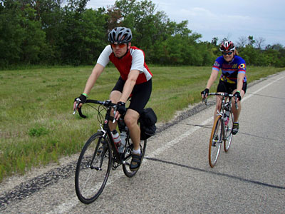
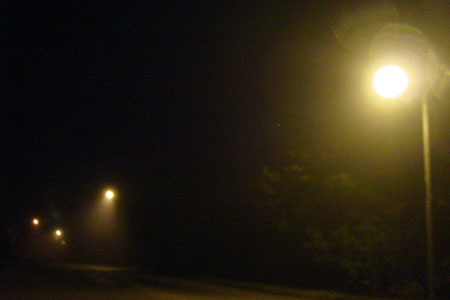
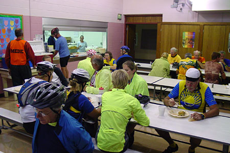
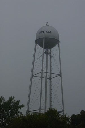
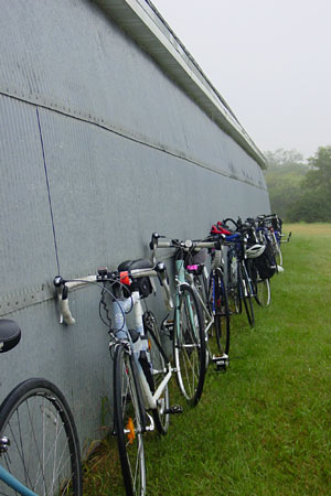
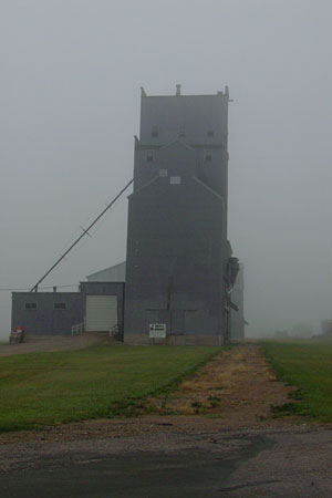
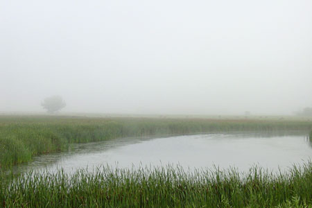
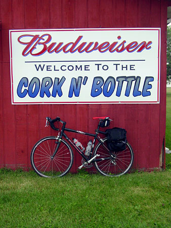
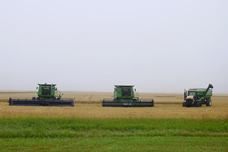
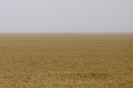
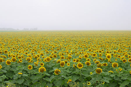
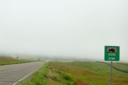
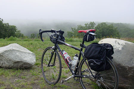
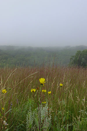
Day 3: August 7th, 2007 Distance: 62.2 mi. I was pleased that it had not rained during the night. But when I opened my tent I realized it was extremely foggy. The air was so wet that it was almost as if it were raining. The clouds and fog kept the sunlight at bay long after six o’clock, my usual departure time. It was too dark to ride, so I slowly munched on my breakfast of muffins and fruit juice before hitting the road. I hoped for sunlight, but was impatient. Once I was on the road the fog seemed even more dense and cold. It was a very gloomy, grey ride, but not unpleasant. It was an adventure to ride in such poor visibility, I suppose. We headed north on highway 14 to Upham, the first rest stop (here's a snapshot of the "parking lot"). They were serving bologna sandwiches … it’s been a while since I had one of those, that’s for sure. Another option was the typical PB&J. The town of Upham is very small. The grain elevator is next to an empty rail bed, the tracks gone, their path still clearly visible. Grain is now trucked out, the same as most everywhere else these days. I left Upham and continued my wet, foggy ride. Before long I arrived in Kramer, another tiny village. It seems as if the bar and senior citizen centers are the only active places. So I stopped in at the “Cork n’ Bottle” for a scotcheroo (that’s the delicious dessert made with Rice Krispies and peanut butter, not a drink). Tacked to the wall in the bar was a t-shirt proclaiming “There really is a Kramer.” The route continued north from Kramer. The fog was collecting on my helmet and coalescing into drops that rained down into my face. My rain jacket was soaked as if it were, well, actually raining. The gloom continued, though I did get a few snapshots. The harvest season is under way. Heading north toward Souris, I saw two impressive fields: one of wheat and another of sunflowers. Once we got to Souris, the next stop, the fog began to thin out and lift a few feet off of the ground. At this point we were approaching the Turtle Mountains, which are a little impressive after riding across so much flatness. Unfortunately, they were hidden in the clouds. I was very disappointed about that. Riding up highway 43 into the Turtle Mountains provides an amazing view. The people visiting from out of state were missing one of the jewels of North Dakota, I thought. The fog continued to lift. As I pedaled up the hill, eastward along highway 43, I rode up and into the clouds. It was surreal and beautiful, in a way. At the top there is a scenic overlook called “Mystical Horizons” that offers a spectacular view and has an unusual sculpture that resembles Stonehenge. Thankfully, I did not interrupt any pagan worship ceremonies during my visit. Most of the bikers were too tired to make those last few feet of climbing. They really missed out. When I first got to the top, all I could see was a white wall of fog. Then the sun broke through, suddenly and completely. The prairie was visible for miles and the view was, again, spectacular. The weather that afternoon and evening was perfect for CANDISC campers. But I only as far as my parents’ home, which is right on top of those hills, not far from the state park where most of the bikers camped. I’m sleeping in a real bed tonight. I may even sleep in a little bit tomorrow. It’s good to be home for a little while at least. Justin and Nichole also opted for a real bed and are staying with us here tonight. Oh, and Justin took that snapshot (above) of myself and Nichole while he was riding along in front of us. It would have been a great picture if I did not look so unhappy. I swear, I'm enjoying the ride! |
||
| ©2007, Jason Signalness |
||
