
| Day 1: Gateway Arch (St Louis) to Alton, IL
|
||
| INDEX | TOMORROW >> | |
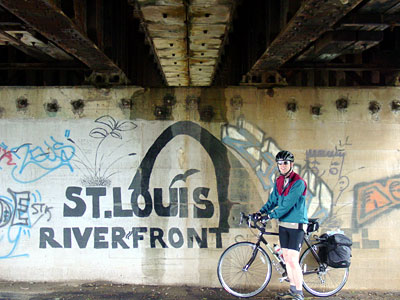
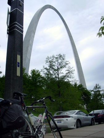
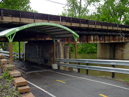
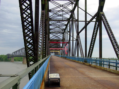
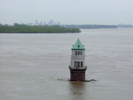
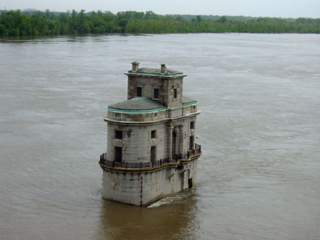
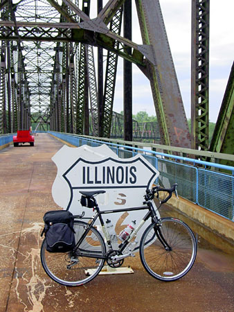
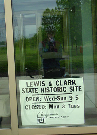
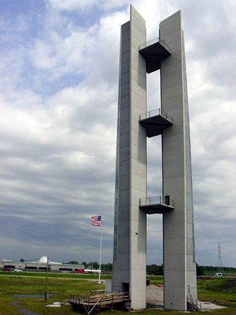
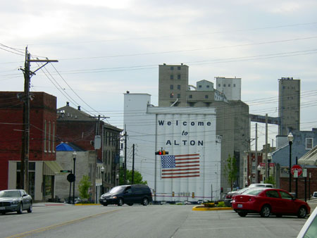
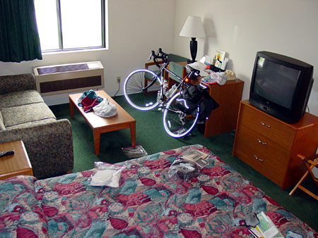
Day 1: Tuesday Tm: 3:02:07 As I pedaled north from the arch, there is the usual mess of junkyards, barge facilities, and other industry. But the bike path is excellent. It weaves along the riverfront, between dikes, flood gates, and atop levees. Smooth sailing for miles with no traffic. The "truckster" seemed to float along. Eventually I got to the Chain of Rocks Bridge. This bridge once carried Route 66 across the Mississippi. Then it was abandoned, but later converted into a great pedestrian bridge. The bridge is unique in that it has a sharp bend in the middle. It is an interesting piece of history. As I stood on the bridge and looked South, I could see the Arch, where I started the ride, miles away. There are also two historic water intake structures -- quite elaborate, actually -- near the bridge. Next, after crossing into Illinois, I turned North and rode on the levee bike path to Lewis & Clark State Memorial Park. The Madison County bike trail system, which I was riding on, is impressive. Signs claim about 85 miles of trails connecting many of the communities in the area to one another (See mcttrails.com). Unfortunately, the visitor center at the park is closed on Tuesday, and the impressive-looking monument is still under construction. Then I arrived in the Hartford and East Alton areas, where the bike path I was on ended in a strange residential/industrial area. That whole areas seemed run down, though full of industry, such as a huge Amoco facility and various corporate barge facilities. Anyway, I felt lost once the bike path ended near East Alton. I asked two people for directions before finding the very nice Alton visitor center. They were very helpful. I decided to stay in Alton at the Super-8. When asking how best to get there, the woman told me to avoid sections of Alton on my map, dangerous areas not safe for a lone cyclist. This looks like a rough town, except for the small but beautiful downtown area. There are also tons of churches here, but few Catholic churches, which I thought was strange so close to the Catholic city of Saint Louis. I must have ridden into the "Bible belt" or something. I was hoping to go to Mass tomorrow, but I can't find Mass times. I've got a lot of Sunday Mass times, but no weekday times. I'll see what the story is when I ride by the Church in the morning. Tomorrow I should hit the KATY Trail. It should be an interesting experience, but for now I'm just enjoying the Super-8, waiting for a pizza to arrive. |
||
| ©2009, Jason Signalness |
||